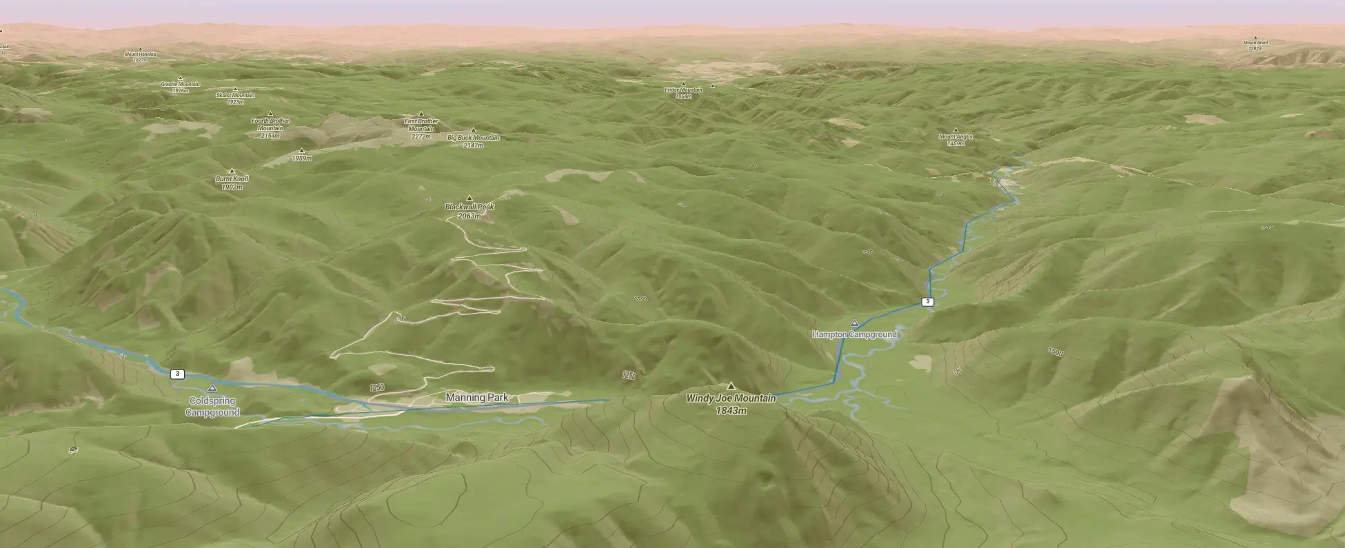
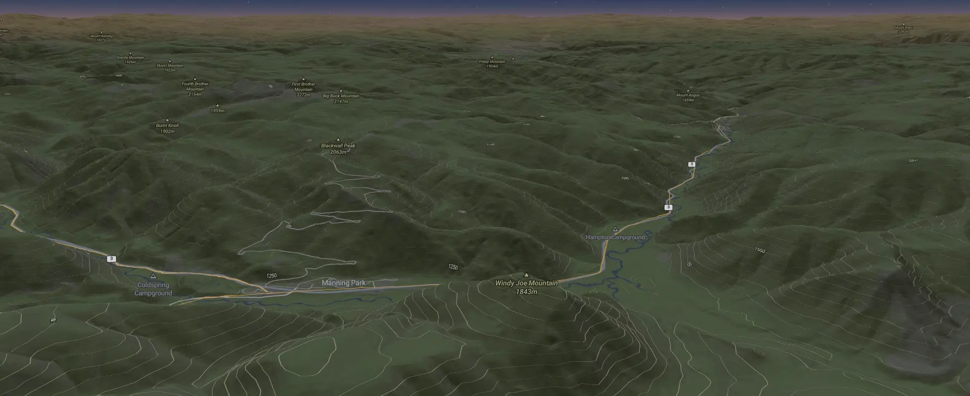
Type 2 fun, mapped.
NOT A SCREENSHOT.
A KEEPSAKE.
Contourist turns a multi-day endurance route into a narrative topographic map — day by day, climb by climb, in terrain you can actually see.
The artifact
THE MAP REMEMBERS IT BETTER THAN YOU DO.
Toggle topographic relief, satellite, and 3D terrain. Open any day to see its distance, climbing, and where the hard part actually was.


Why Contourist
BUILT FOR THE ROUTE THAT TOOK EVERYTHING.
NARRATIVE BY DAY
Every day its own chapter — distance, climbing, and the shape of the ride, sequenced the way you lived it.
TERRAIN IN 3D
Topographic relief, satellite imagery, and true 3D terrain. Toggle between them and see the mountains you actually climbed.
YOURS TO SHARE
One link. No followers, no app to install. Send the whole journey to anyone who wants to see where you went.
YOURS TO KEEP
A keepsake, not another post in a feed. Preserved at your own link and revisited whenever you want to go back.
Three steps
YOU MOVE. WE HANDLE THE CARTOGRAPHY.
BRING YOUR DATA
Connect an account or drop in an export. We read the route, the elevation, and the timestamps.
WE DRAW THE MAP
Contours, relief, and 3D terrain, segmented into days and rendered as one continuous tour.
SHARE THE JOURNEY
Get one link to send anyone — public to the world or private to a few. No app, no account on their end.
READY TO MAP YOUR TYPE 2 FUN?
Contourist is in early access. Request an invite and be among the first to turn a hard route into something worth keeping.
No spam. One email when your invite is ready.